11 years, 2 months ago
0 Comments
Posted in: Computer Automated Design / Current Work
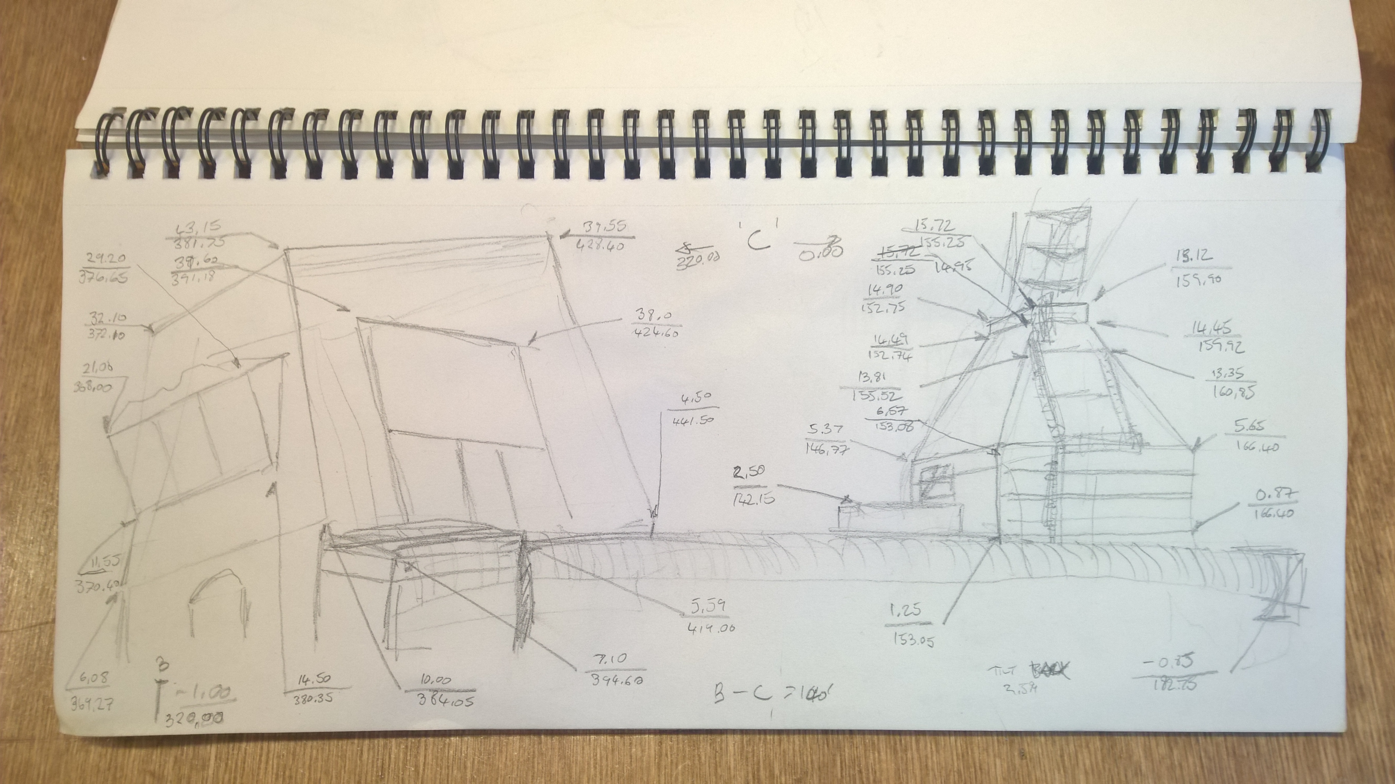
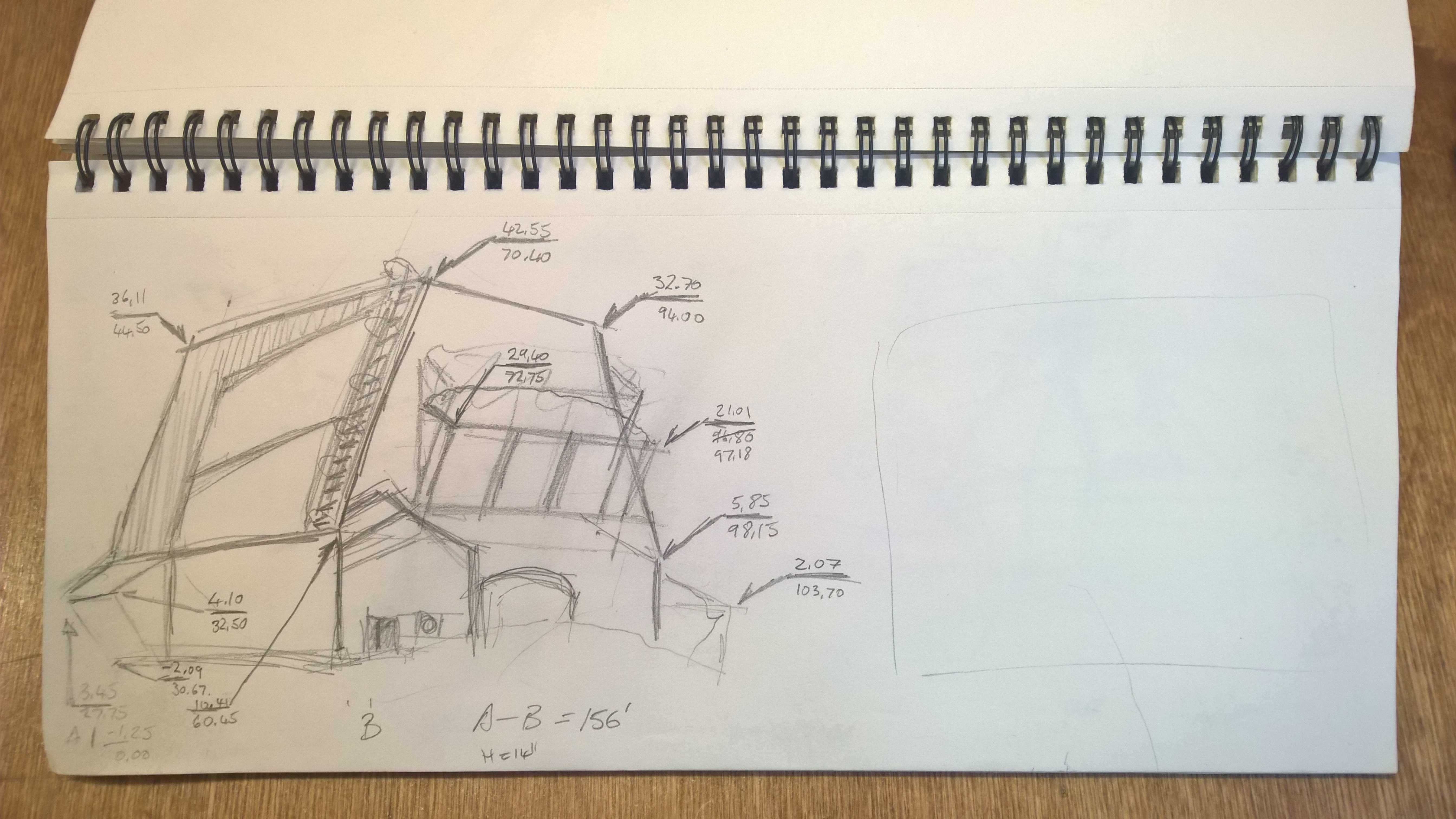
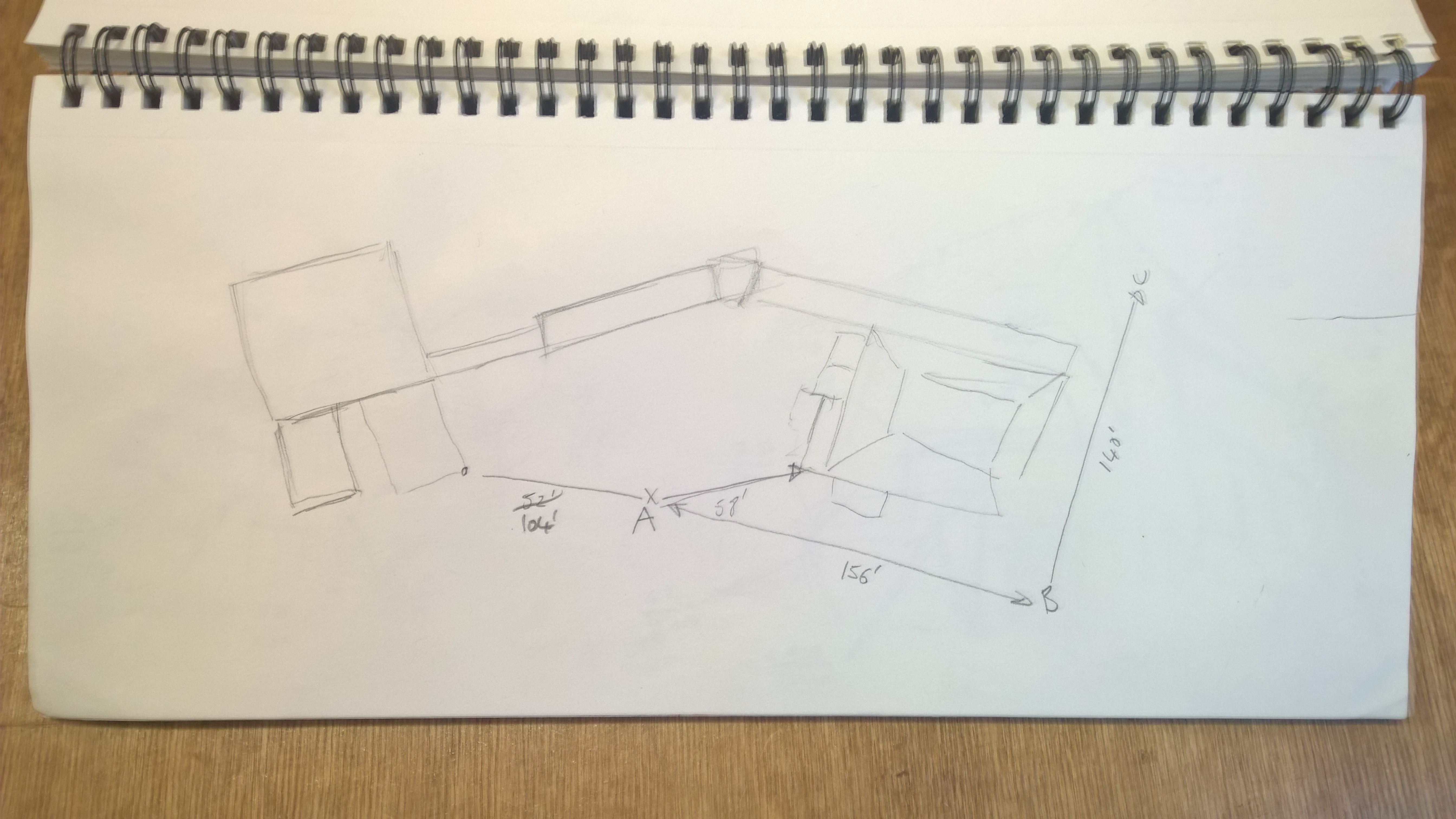
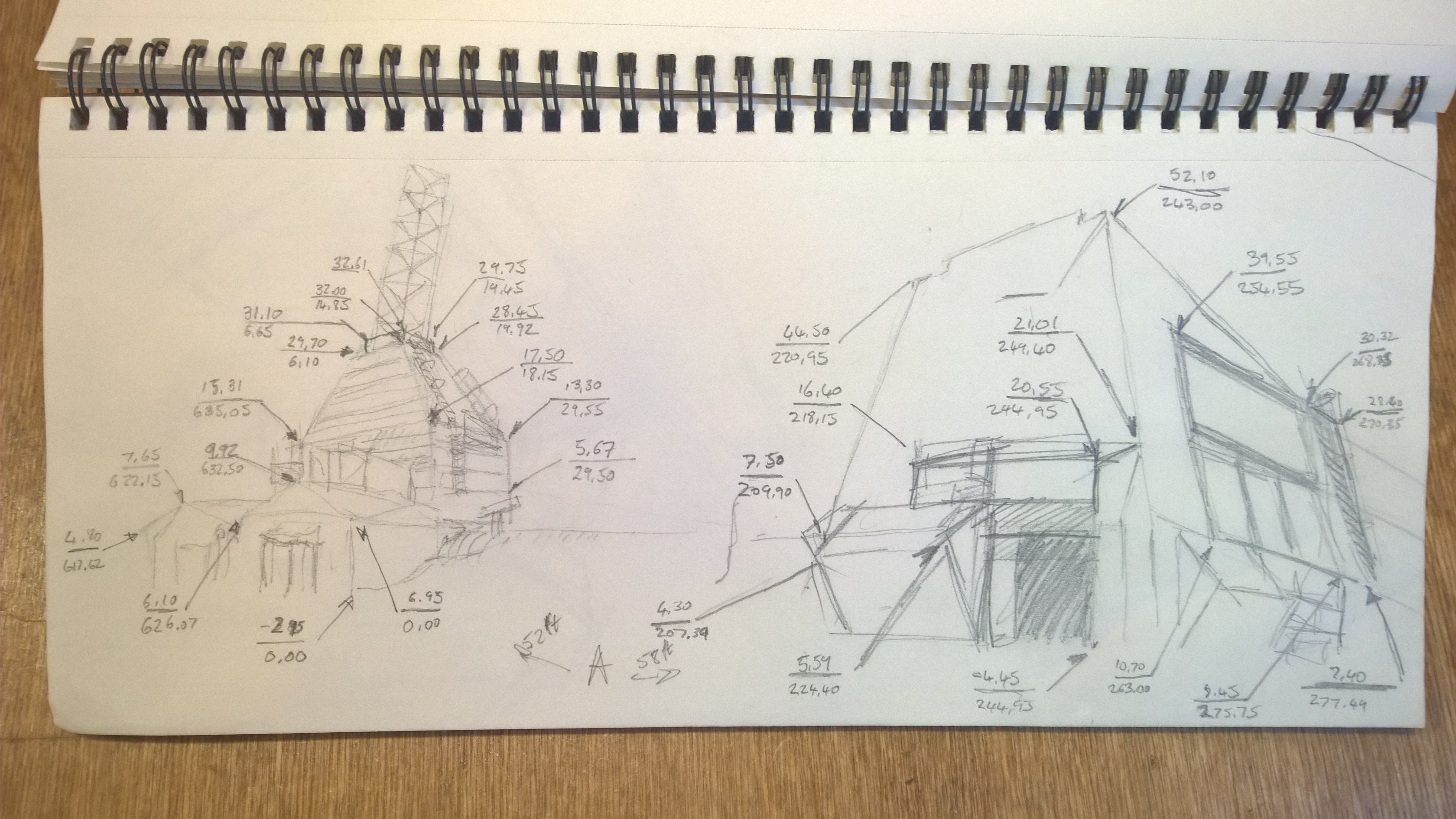
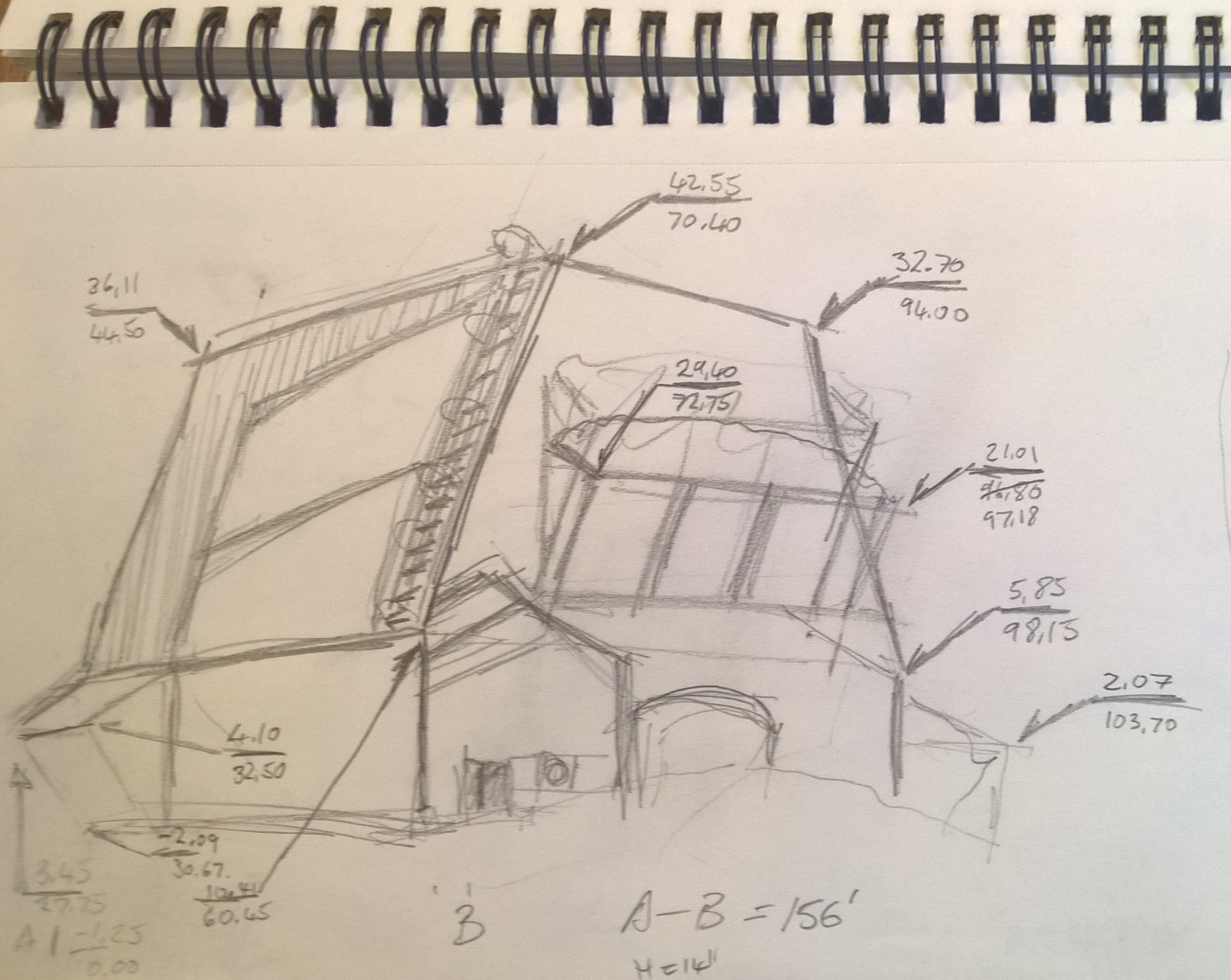
In order to complete the CAD designs for the various sites I will need to determine the way in which I will translate the surveying data that I have collected in to 3D Models that I can augment with the future technologies.
Thus far I have collected Site and Azimuth data from a series of points at each location. This data has been recorded on pencil sketches that will be used to construct basic wire-frames of the sites.
Here are a series of drawings and data collected from two buildings at the Churchill Rocket Range :